Loading...
")
")
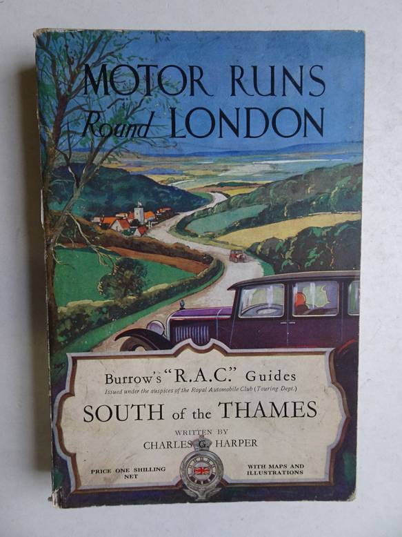
Harper, Ch.G..
Motor runs round London; II: South of the Thames.
Cheltenham, London; c. 1920; Ed.J. Burrow & Co.; Burrow's 'R.A.C.'guides; folding map, ill., advertisements; XXI, 264 pp.
Back cover slightly grimy. Spine slightly damaged.
[13009]
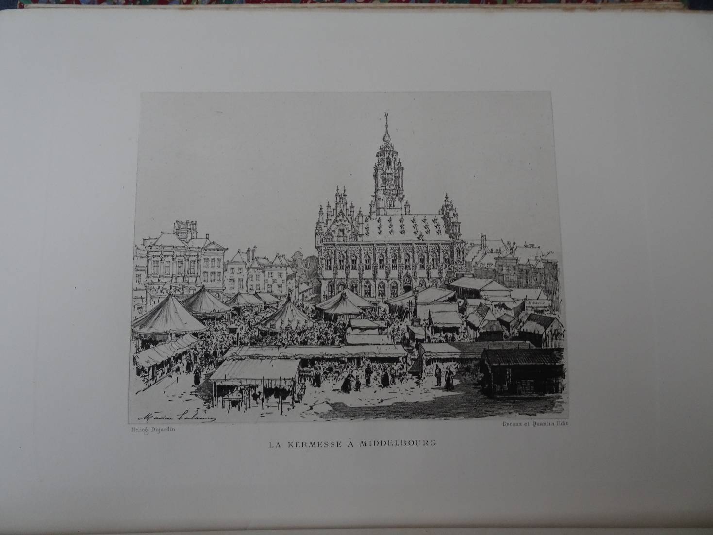
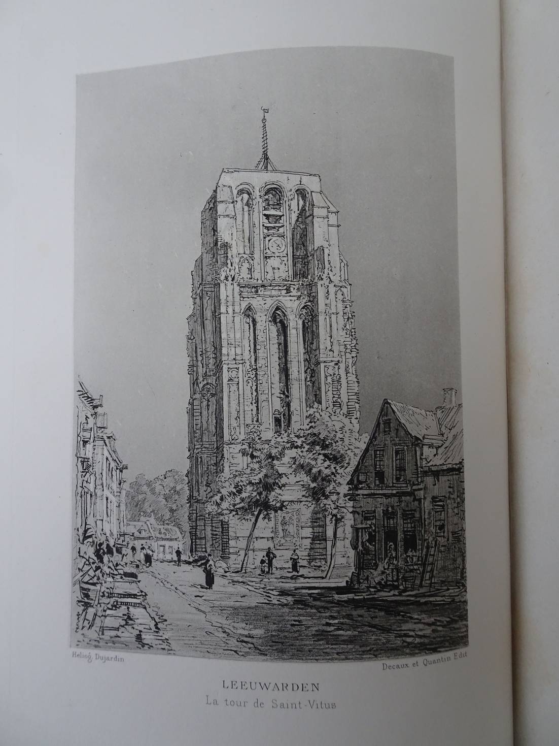
Havard, Henry.
La Hollande a vol d'oiseau. Eaux-fortes et fusains par Maxime Lalanne.
Paris; 1882; G. Decaux & A. Quantin; red half morocco; marbled boards and endpapers; raised bands; gilt top edge; ca. 22x31 cm.; 2nd edition; ills. with the text and engravings (heliographic) by Maxime Lalanne; II, 400 pp.
In fine condition.
[28284]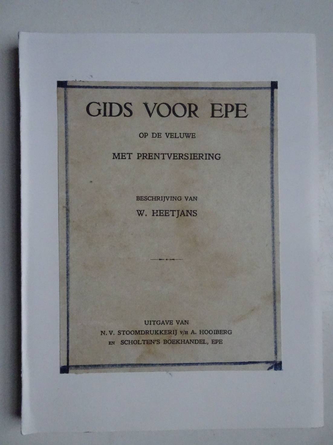
Heetjans, W..
Gids voor Epe op de Veluwe. Met prentversiering.
Epe; s.a. (ca. 1930); uitgave van N.V. Stoomdrukkerij v/h A. Hooiberg en Scholten's Boekhandel; zachte kaft; ill.; 80 p.
Band vernieuwd. Titelblad ontbreekt. Bladzijden hier en daar enigszins roestvlekkig in blanco marges.
[32464]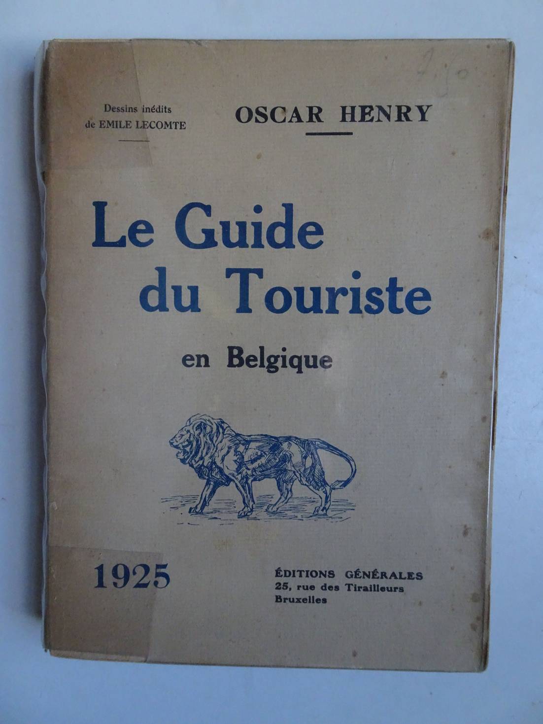
Henry, Oscar.
Le Guide du Touriste en Belgique 1925.
Bruxelles; 1925; Éditions Générales; softcover, plasticized; 13x18 cm.; ills. by Emile Lecomte; folding map of Belgium loosely inserted; index; 206 pp.
Cover with protective transparent wrapper. Bookblock a trifle loosened.
[31785]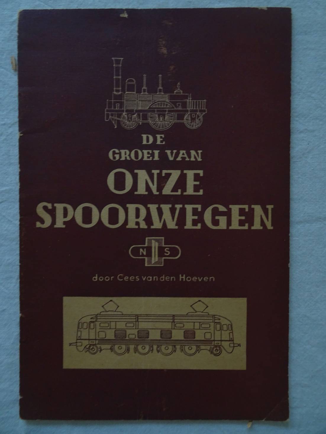
Hoeven, Cees van den.
De groei van onze spoorwegen.
Utrecht; zonder jaar (1948); N.V. Nederlandsche Spoorwegen, afd. Propaganda; zachte kaft, geniet; 14x 21 cm.; ill. in zwart wit; 28 p.
Wat hele lichte gebruikssporen.
[38841]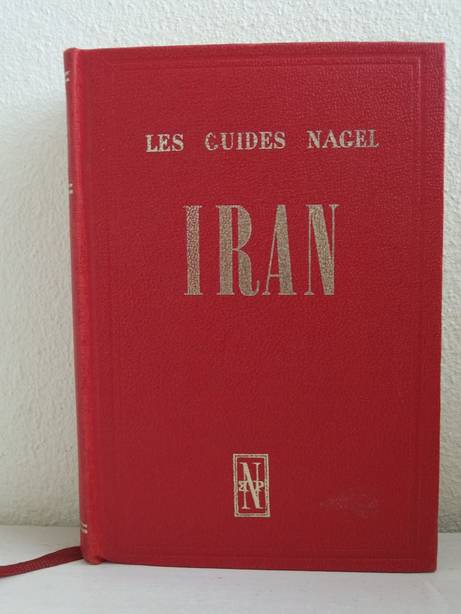
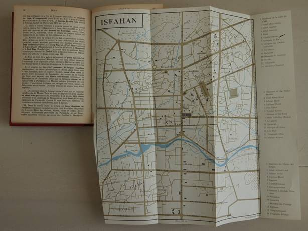
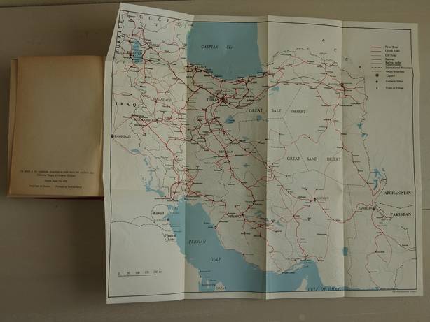
Iran.
Genève, Paris, Munich; 1967; Les Éditions Nagel; Les guides Nagel; ed. by M.P. Wagret; maps (3 folding maps in colour), plans, 2 folding plans in colour; cloth, gilt stamped; 432 pp.
A few notes in ink. 1 plan torn.
[14530]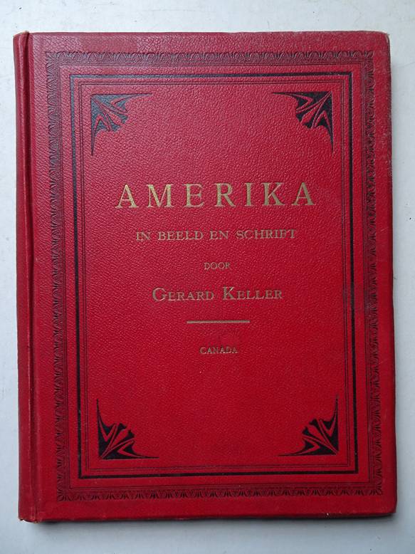

Keller, Gerard.
Amerika in beeld in geschrift; Canada.
Amsterdam; c. 1875; Uitgevers-Mij. Elsevier; 122 woodengravings acc. to original drawings; cloth, red, blind-, black- and gilt stamped; 192 pp.
First pp. slightly foxing.
[14620]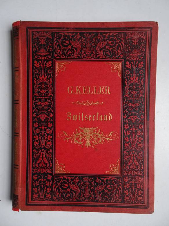
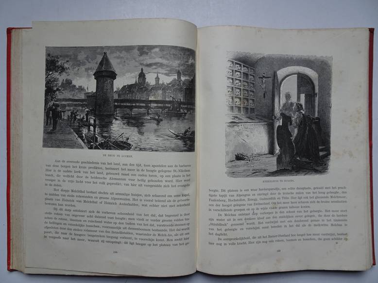
Keller, Gerard.
Zwitserland, naar schetsen van Woldemar Kaden.
Leiden; n.d. (ca. 1900); A.W. Sijthoff; gilt printed cloth; numerous wood engravings; 24x31 cm.; 389 (5) pp.
Vague waterstain throughout approx. half of the pages, mainly in margins and edges, and for that reason some leaves are slightly stuck to each other. Pages occasionally foxed and name, in pen, on first endpaper. Backcover with some stains and chafed spot, spine ends mended.
[22997]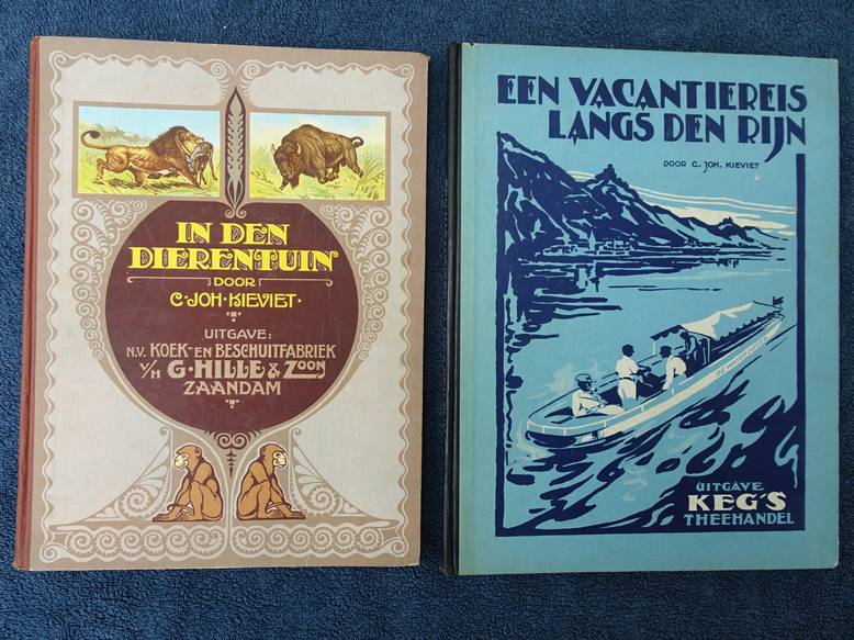
Kieviet, C. Joh..
Een vacantiereis langs den Rijn. In den dierentuin.
Utgave Keg's Theehandel ca. 1925 / Uitgave N.V. G. Hille & Zoon; 1925. Compleet met alle plaatjes.
Beide albums compleet en in goede staat.
[35610]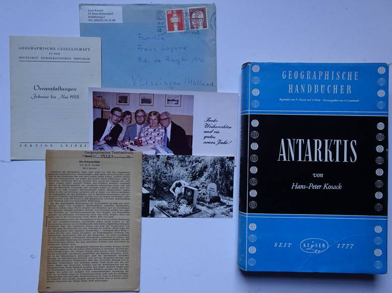
Kosack, Hans-Peter.
Die Antarktis. Eine Länderkunde. Mit 22 Karten, 24 Textfiguren, 16 Bildtafeln und einer Übersichtskarte 1:11500 000.
Heidelberg; 1955; Keysersche Verlagsbuchhandlung; Geographische Handbücher; with (loose, folded) maps, figures and b&w photos; gilt lettered cloth with dustjacket; 16x24 cm; 310 pp.
Personal documents added: photos of author with family and a letter. Edge dustjacket slightly damaged.
[18198]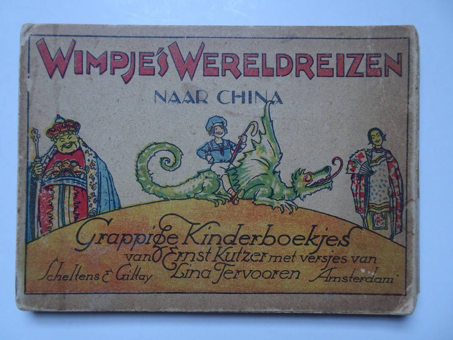
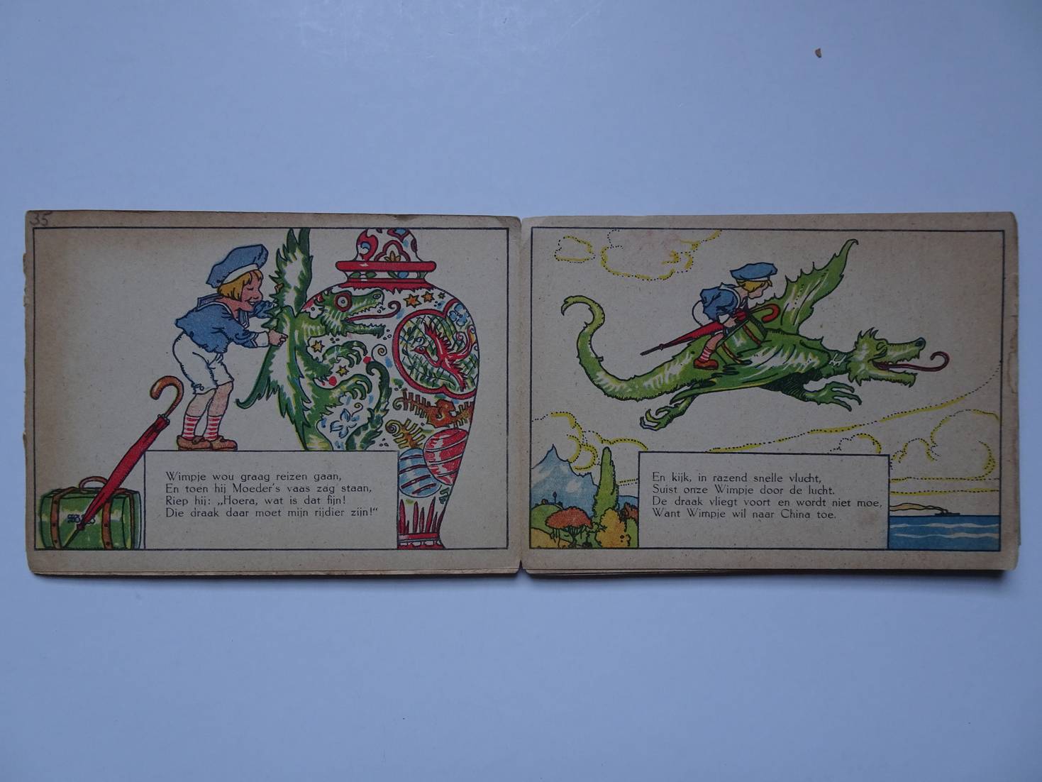
Kutzer, Ernst & Lina Tervooren.
Wimpjes Wereldreizen naar China. Grappige Kinderboekjes van Ernst Kutzer.
Amsterdam; zonder jaar (1924); Scheltens & Giltay; gekartonneerd; oblong; 15x12 cm.; leporello; versjes door Lina Tervooren; ill. in kleur; ongepagineerd.
Wat hele lichte gebruikssporen.
[36565]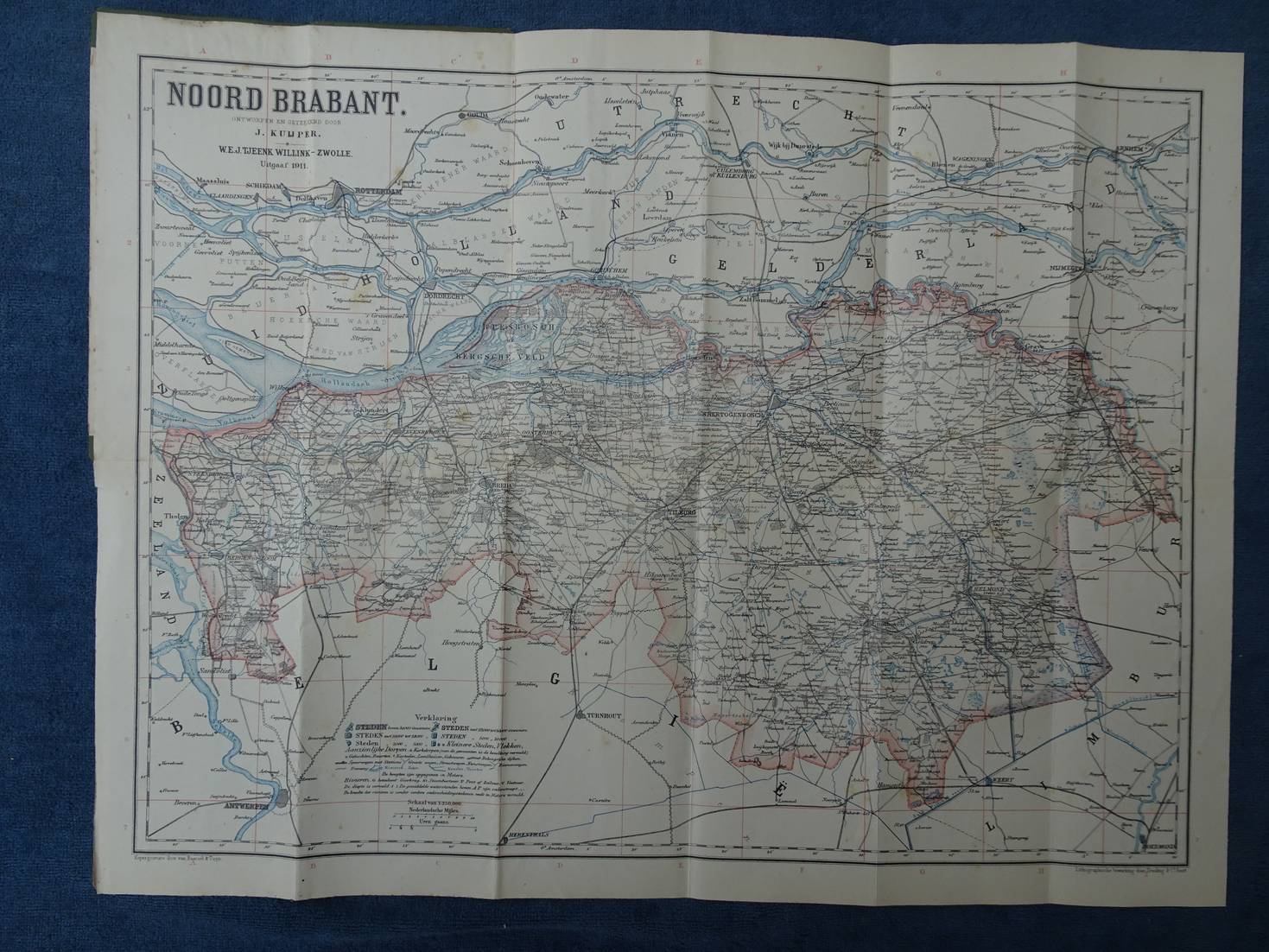
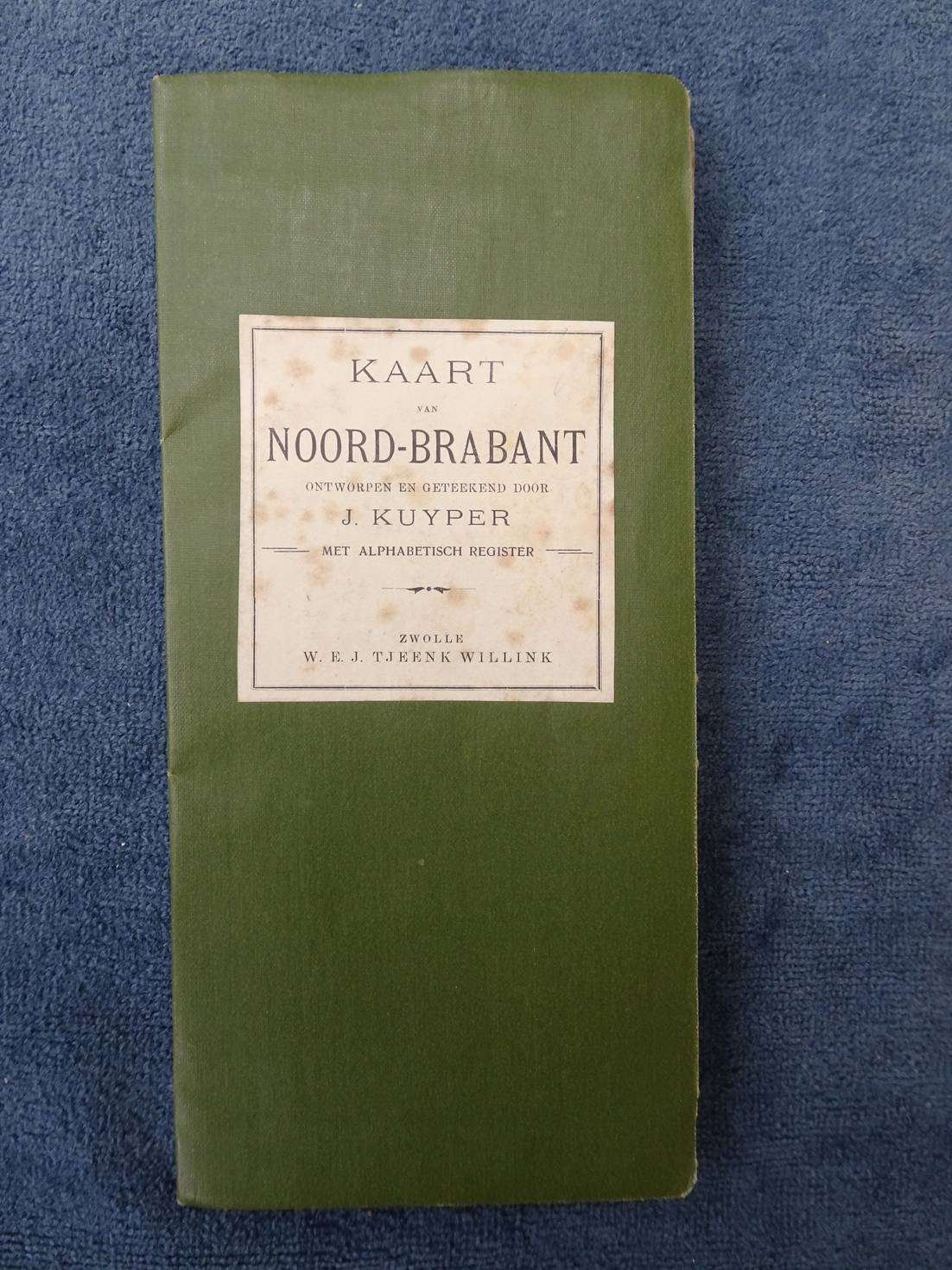
Kuyper, J..
Kaart van Noord-Brabant. Ontworpen en geteekend door J. Kuyper. Met alphabetisch register.
Zwolle; 1911; W.E.J. Tjeenk Willink; uitvouwbare kaart, 53x 42 cm.; in omslag; schaal: 1: 250.000 naar "Nederlandsche mijlen".
Titeletiketje met roestvlekjes.
[38534]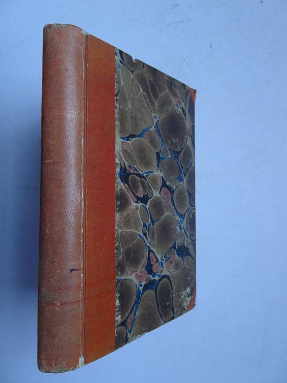
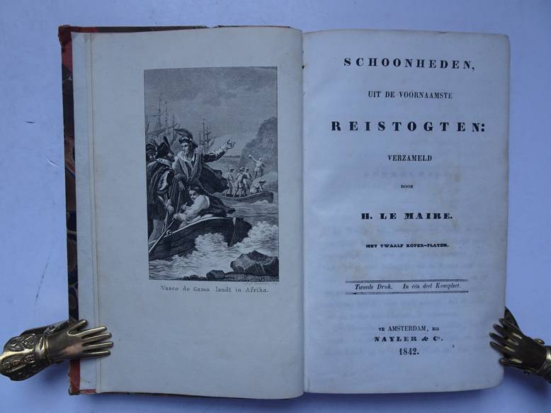
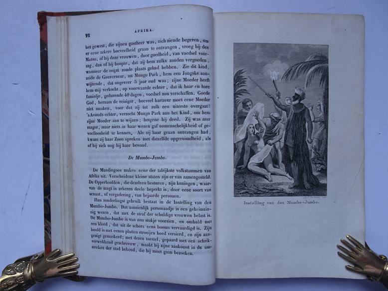
Le Maire, H..
Schoonheden, uit de voornaamste reistogten verzameld. Met twaalf koper-platen.
Amsterdam; 1842; Nayler & Co. Tweede druk. Met 12 kopergravures. Karton met gemarmerde platten; 250 p.
Over reizen Naar / in Afrika, Azië en Amerika.
[35417]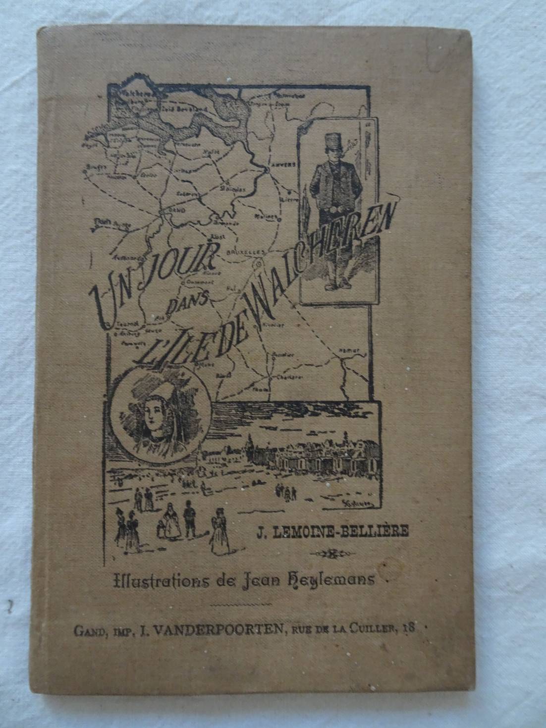
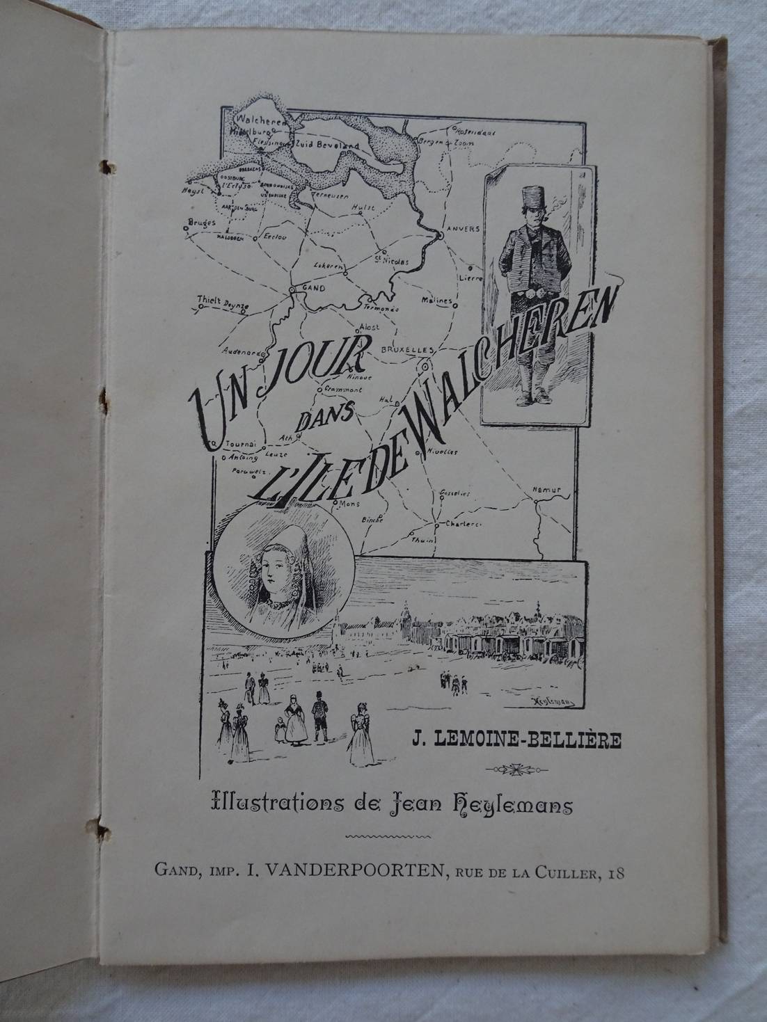
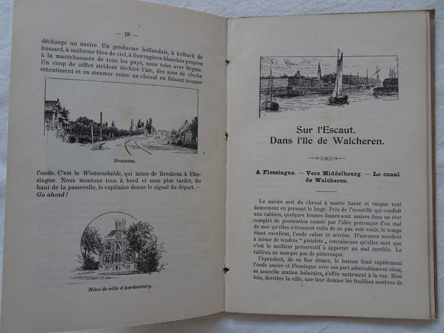
Lemoine- Bellière, J. & Jean Heylemans.
Un jour dans l'Ile de Walcheren.
Gand; no year; I. Vanderpoorten; clothbound; 11x 17 cm.; ills. in b&w, by Jean Heylemans; text in French; 59 pp.
Cover a trifle finger-soiled. Near fine copy.
[38778]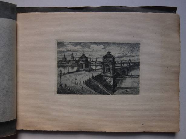
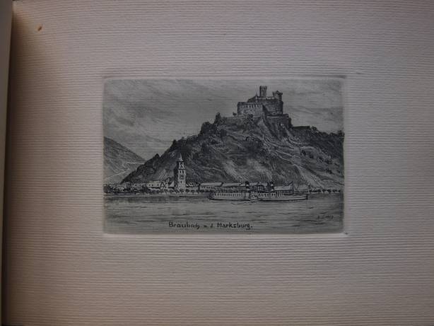
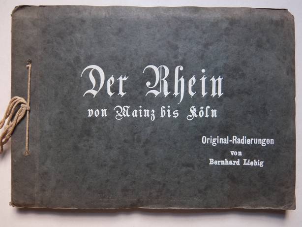
Liebig, Bernhard. Der Rhein von Mainz bis Köln. Original-Radierungen von Bernard Liebig. Frankfurt am Main; ca. 1900; Verlag M. Jacobs; softcover; bound with string; 18 original etchings by Bernhard Liebig; printed on handmade paper with protective, tissued sheets. Fine copy. [34098]
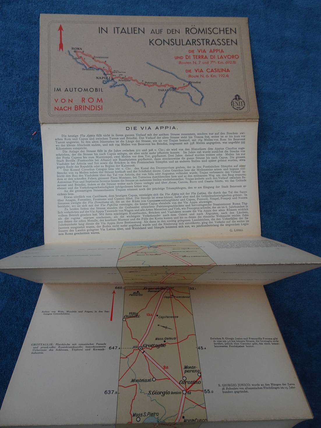
Lugli, G..
In Italien auf den Römischen Konsularstrassen. Die Via Appia und di Terra di Lavoro (Routen N. 7 und 7bis: Km. 692.8). Die Via Casilina (Route N. 6: Km. 192.4). Im Automobil von Rom nach Brindisi.
S.l.; s.a.; Enit; softcover; oblong; 22x 12 cm.; roadmap; ills. in colour with captions in German; to be unfold like a leporello.
Fine copy.
[38532]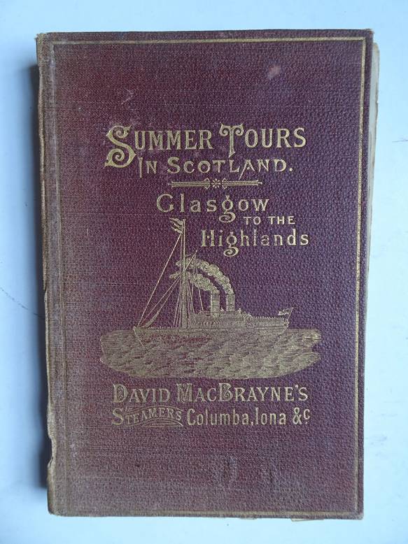
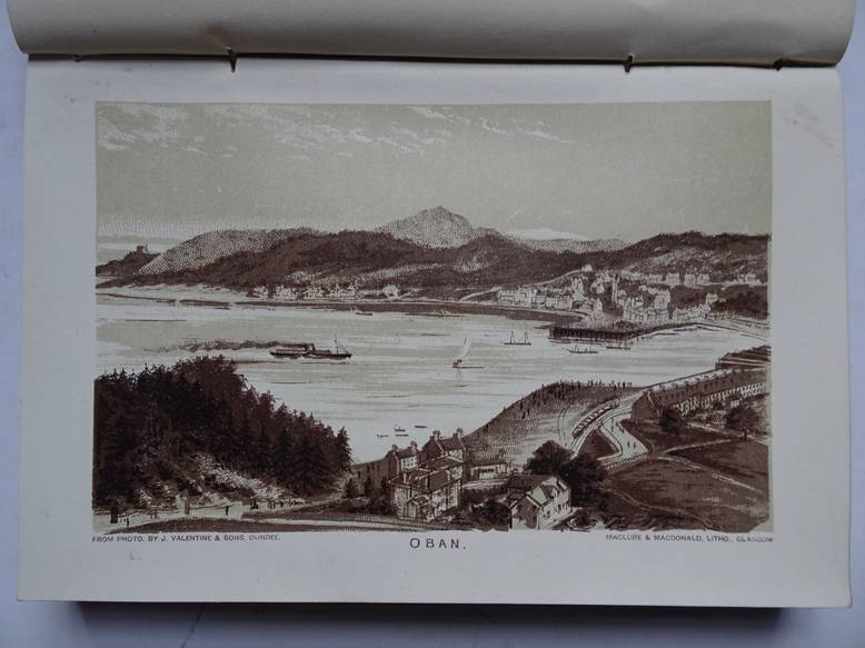
Macbrayne, David.
Summer tours in Scotland, Glasgow to the Highlands; "Royal route" (via Crinan and Caledonian Canals). With time tables and list of fares.
Glasgow; 1885; Royal Mail Steamers, "Columba", "Iona", & Co.; gilt printed cloth; 18 lithographs and a folding map; 111 (2) pp. + plates.
Folding map somewhat damaged, mended with tape. Spine discoloured and creased, cover occasionally rubbed. Owner's entry, in ink, on title page.
[22457]

Maps of England, 29 lithographed plates (scale 8 miles to an inch), and enlarged maps of the environs of London and Manchester and district.
N.pl.; n.d. (ca. 1915); halfcloth, with renewed spine; with 7 illustrated adds of automobiles/ car industry; with, i.a., motor marks, speed and danger symbols, a route guide to England and Wales and popular road routes for cyclists; (7), maps, 26 pp. + advertising.
Spine and endpapers renewed. Title page lacking.
[24165]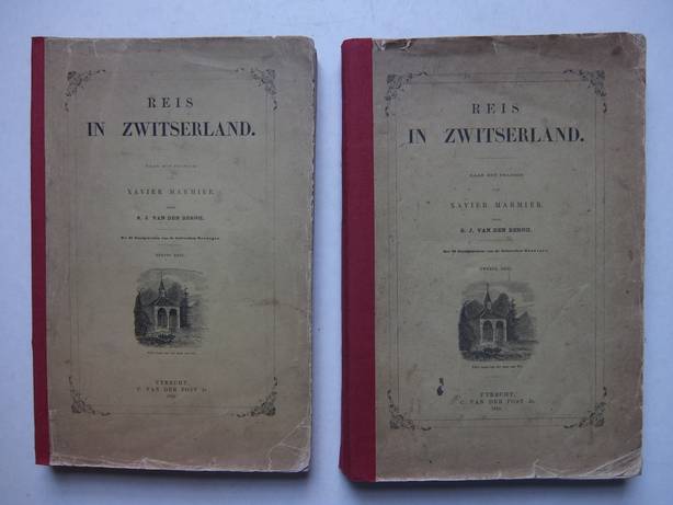
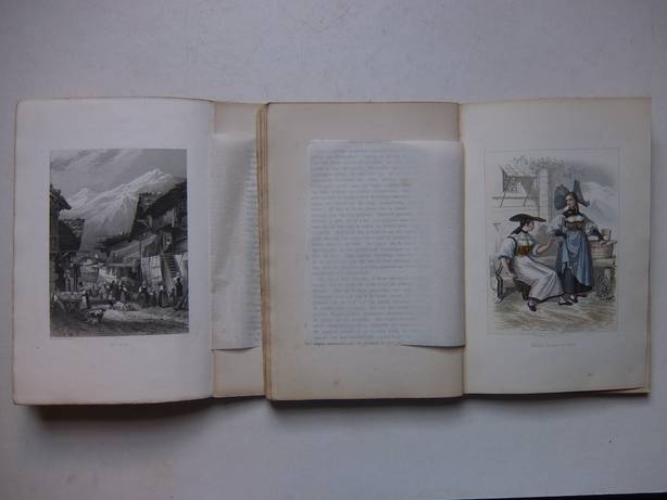
Marmier, Xavier
Reis in Zwitserland. Pt. I, II. ( Translation of: Voyage en Suisse )
Utrecht; 1864; C. van der Post Jr.; naar het Fransch door S.J. van den Bergh; 26 steelengravings, handcoloured and in b&w, by the Rouargue brothers; half cloth; 528 pp, consecutive numbering.
Last three plates stained. Other engravings of very good quality. Spines renewed.
[7470]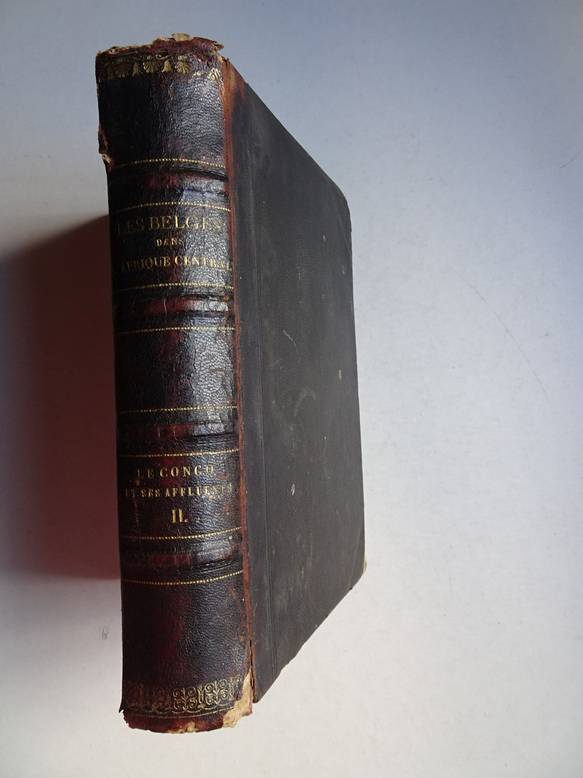
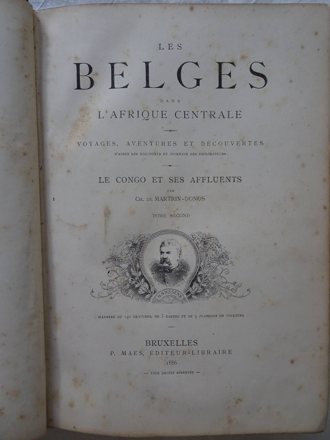
Martrin-Donos, Ch. de.
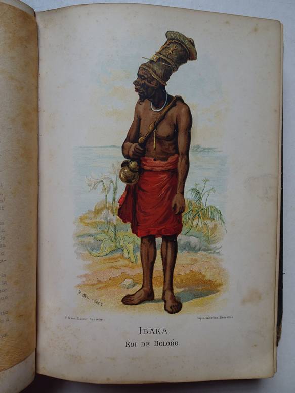
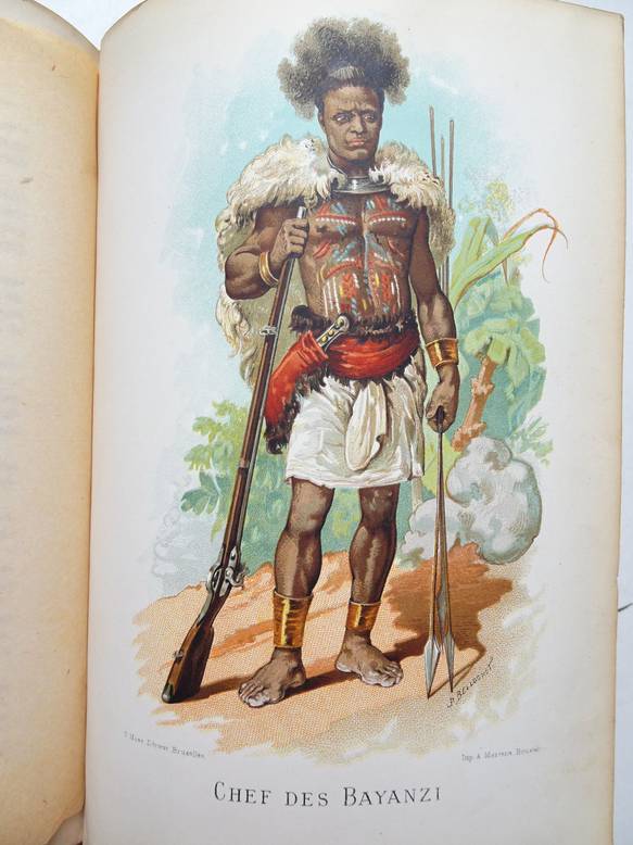
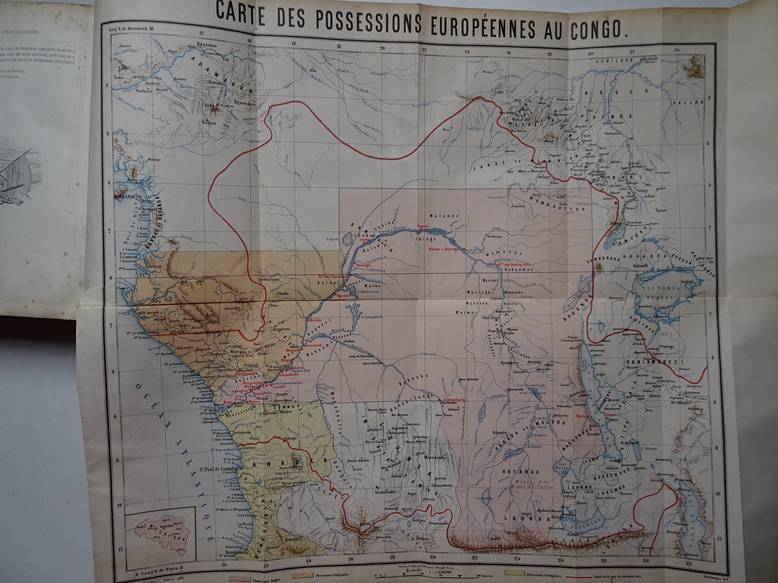
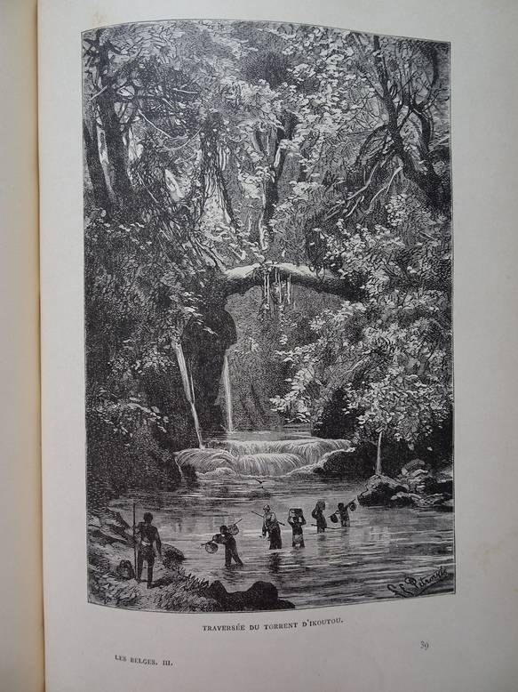
Les Belges dans l'Afrique Centrale; voyages, aventures et découvertes d'après les documents et journaux des explorateurs; Le Congo et ses affluents. Tome second.
Bruxelles; 1886; P. Maes, Éd.-Libraire; 5 chromolithogr., 2 folding maps, 1 map in front, ill.; halfleather, halfcloth; 511 pp.
Volume 2 only. Rust spots, waterstained. Cover stained and worn at corners. Spine damaged at joints.
[12515]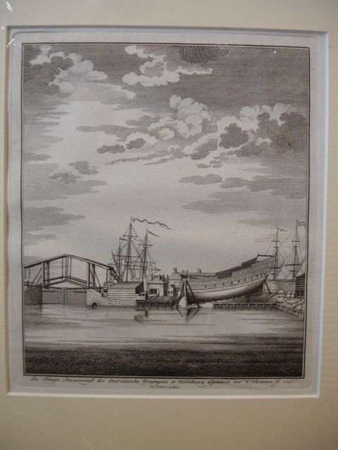
Middelburg. De Scheeps Timmerwerf der Oostindische Compagnie te Middelburg. Kopergravure. 1757. Door W. Udemans Jr. Herkomst: Atlas van Zeeland. Uitg. Tirion. Afmeting: ca. 21 x 17 cm. Geleverd in zuurvrij passe-partout. [27507]
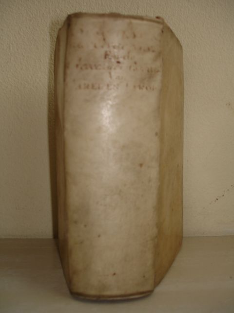
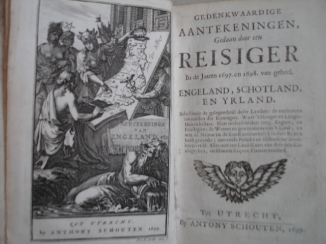

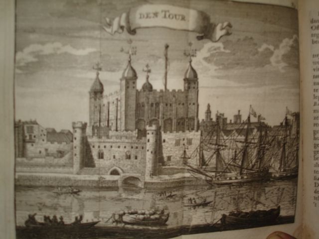
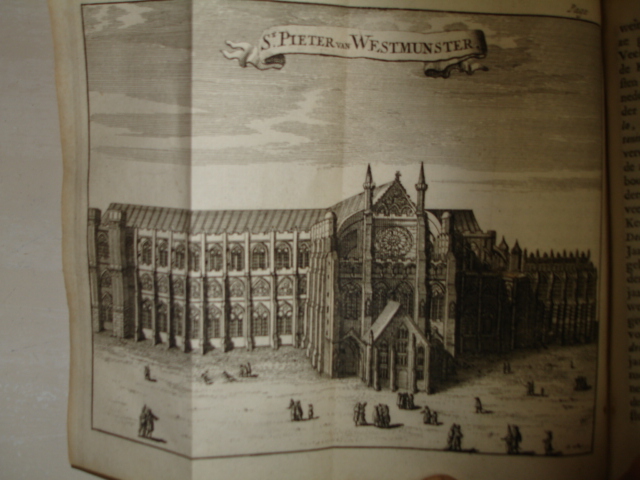
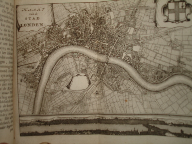
(MISSON DE VALBOURG, HENRI).
Gedenkwaardige aantekeningen gedaan door een reisiger in de jaaren 1697 en 1698 van geheel Engeland, Schotland en Yrland.
Utrecht; 1699; A. Schouten. Contemp. vellum; (18), 454, (42) pp. Engraved frontispiece;1 folded map of England, 1 folded plan of London, 1 text engraving and 18 other (folded) engravings. Added in the same binding: Geheime historie der twee gebroeders Karel en Jakob de Tweede, Koningen van Engeland. Rotterdam;1695; Pieter vander Slaart. (Last title incomplete; only 252 pp. of 326 pp.)
Upper side of binding worn. Map with tear but nicely repaired. Otherwise clean and fine copy.
[30510]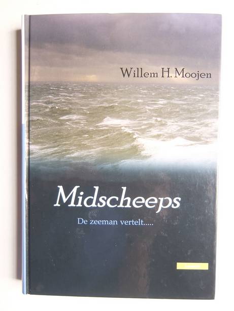
Moojen, Willem H.. Midscheeps. De zeeman vertelt... Emmen; 2005; Lanasta; harde kaft; ill. in zwart wit; 336 p. Uitstekend exemplaar. [33666]
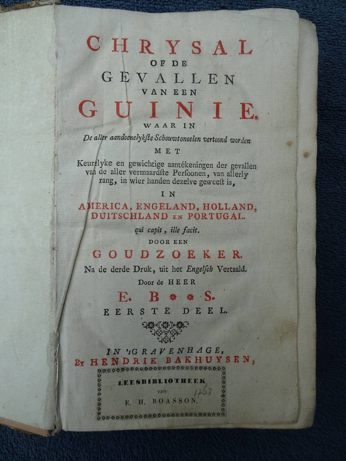

N.n. (Charles Johnstone).
Chrysal of de gevallen van een Guinie. Waar in De aller aandoenelykste Schouwtoneelen vertoond worden met Keurelyke en gewichtige aantekeningen der gevallen van de aller vermaardste Persoonen, van allerly rang, in wier handen dezelve geweest is, in America, Engeland, holland, Duitschland en Portugal.
's Gravenhage; 1763; Hendrik Bakhuysen. "Na de derde druk, uit het Engelsch vertaald door de heer E. B**S." (= Egbert Buys). Twee delen in ëën band. Originele kartonnen band met gedeeltelijk nieuwer opgeplakt papier over de rug en platten; XXIV, 256, VIII, 228 p.
Former library copy. A few water stains. Complete.
[38359]