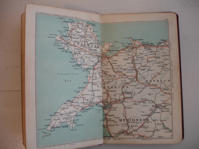


Maps of England, 29 lithographed plates (scale 8 miles to an inch), and enlarged maps of the environs of London and Manchester and district.
N.pl.; n.d. (ca. 1915); halfcloth, with renewed spine; with 7 illustrated adds of automobiles/ car industry; with, i.a., motor marks, speed and danger symbols, a route guide to England and Wales and popular road routes for cyclists; (7), maps, 26 pp. + advertising.
Spine and endpapers renewed. Title page lacking.
[24165]